
Products
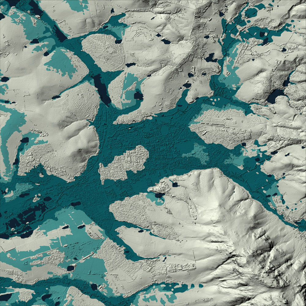
FUSEDEM
FUSEDEM is a hybrid, seamless composite Digital Elevation Model (DEM) produced at a 5-meter resolution. It represents a significant advancement in the development of national-scale elevation data. Designed to deliver the most accurate available elevation data for South Africa, FUSEDEM integrates high-resolution photogrammetric data with a spatially continuous medium-resolution baseline.
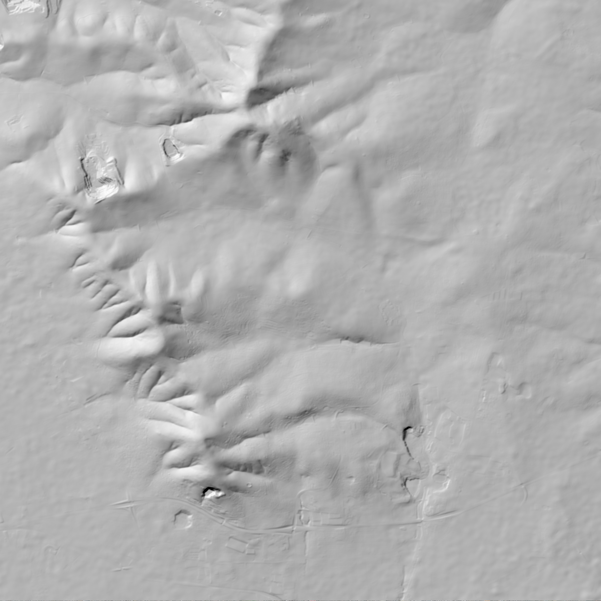
2 m Digital Elevation Model of South Africa (DEMSA2)
Extracted from stereo aerial or satellite imagery, the DEMSA2 offers highly detailed (2 m resolution), accurate and cost-effective terrain data, available on demand. Available as both a digital surface model (DSM) and a digital terrain model (DTM), with a suite of options, your DEMSA2 order can be tailored to your needs.
5 m Stellenbosch University Digital Elevation Model (SUDEM)
The Stellenbosch University Digital Elevation Model (SUDEM) is a 5 m resolution digital elevation model (DEM) – a database of height above mean sea level records – representing the earth’s surface.
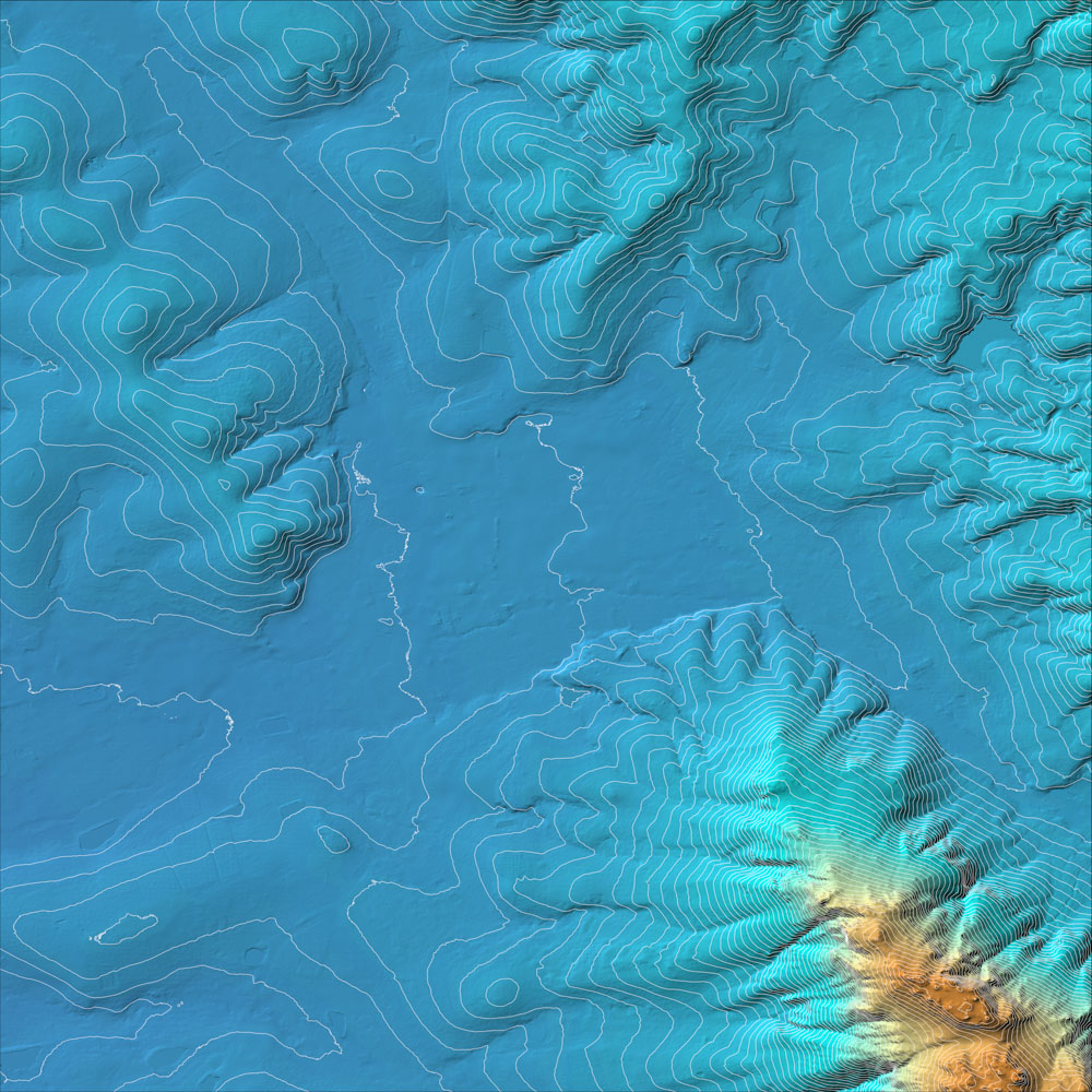
Contours
Contours are essential for many applications, including construction planning, hydrological modelling and environmental management. Geosmart Space provides contour data with 50cm vertical interval spacing for anywhere in South Africa. Other intervals (e.g. 1m, 2m, 5m) can also be provided.

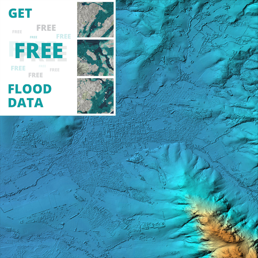
Viewshed
Derived from our high-resolution DEMSA2 elevation model, our viewshed product offers an accurate and detailed line of sight analysis solutions for your planning needs.
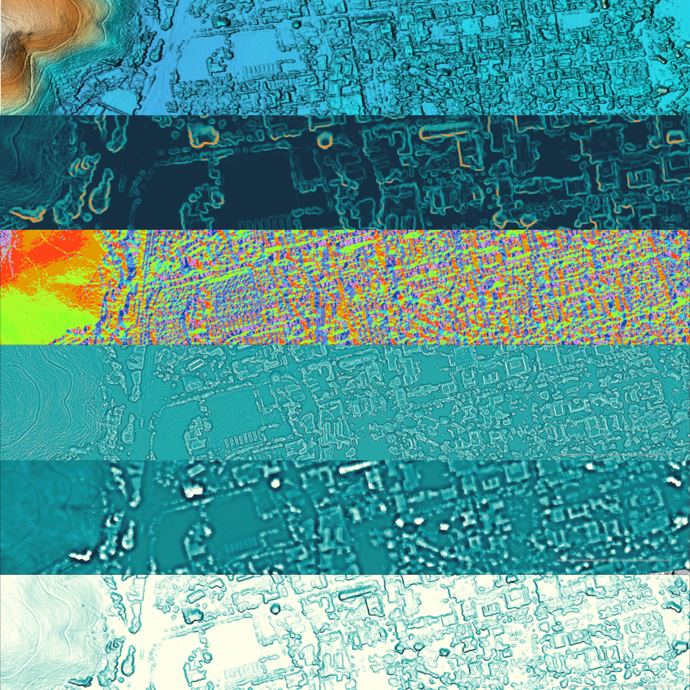
Morphological Derivatives
Add value to your dataset to truly unlock the potential of your terrain data and uncover the diverse attributes inherent to your landscape.
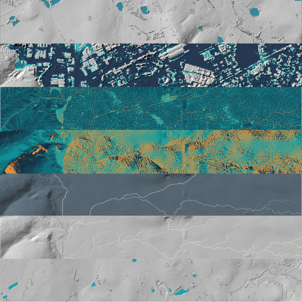
Hydrological Derivatives
Add value to your dataset to truly unlock the potential of your terrain data and uncover the diverse attributes inherent to your landscape.

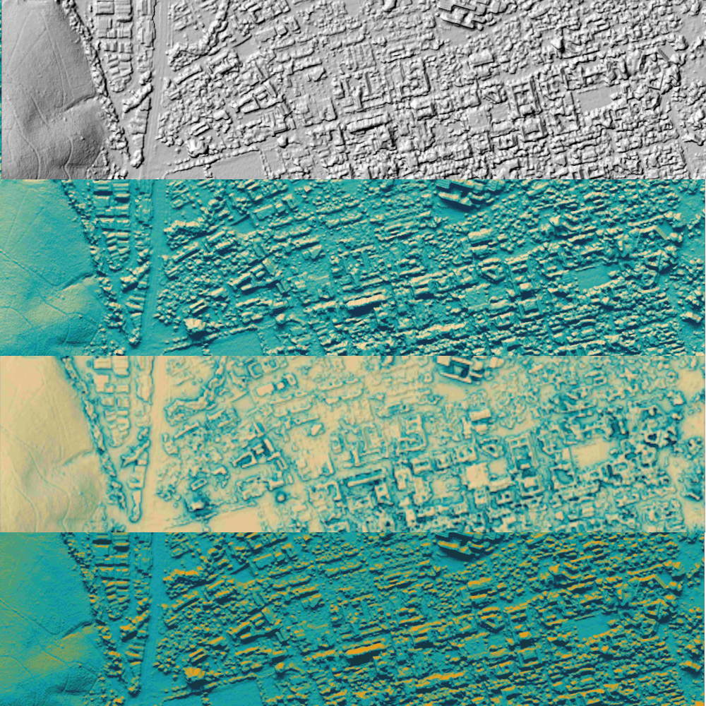
Specialised Derivatives
Add value to your dataset to truly unlock the potential of your terrain data and uncover the diverse attributes inherent to your landscape.

GeoDataPack: Fetakgomo Municipality
This Geo DataPack of Fetakgomo Municipality is ideal for use within a geographical information system...