
Description
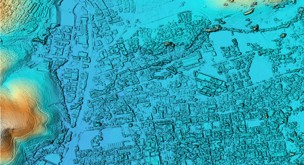
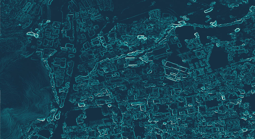
Extracted from stereo aerial imagery, the DEMSA2 offers highly detailed (2 m resolution), accurate and cost-effective terrain (topographic) data, available on demand. Available as both a digital surface model (DSM) and a digital terrain model (DTM), with a suite of options, your DEMSA2 order can be tailored to your needs. The DEMSA2 is also ideal for extracting contours at vertical intervals as small as 50 cm.
Use-Cases
Accurate and detailed elevation data is critically important to inform decision-making in numerous areas, such as:
- construction (road and building construction),
- renewable energy (site selection, energy yield estimation),
- telecommunication (tower positioning),
- air traffic routing and navigation,
- agriculture (precision farming, vineyard establishment, irrigation scheme design, drainage system planning),
- forestry (harvest planning, timbre volume estimation),
- environmental management and impact assessments (visual impact assessment of wind turbines),
- disaster risk planning and management (flood modelling, mudslide and avalanche predictions),
- as well as urban and regional planning (densification monitoring, population estimations).
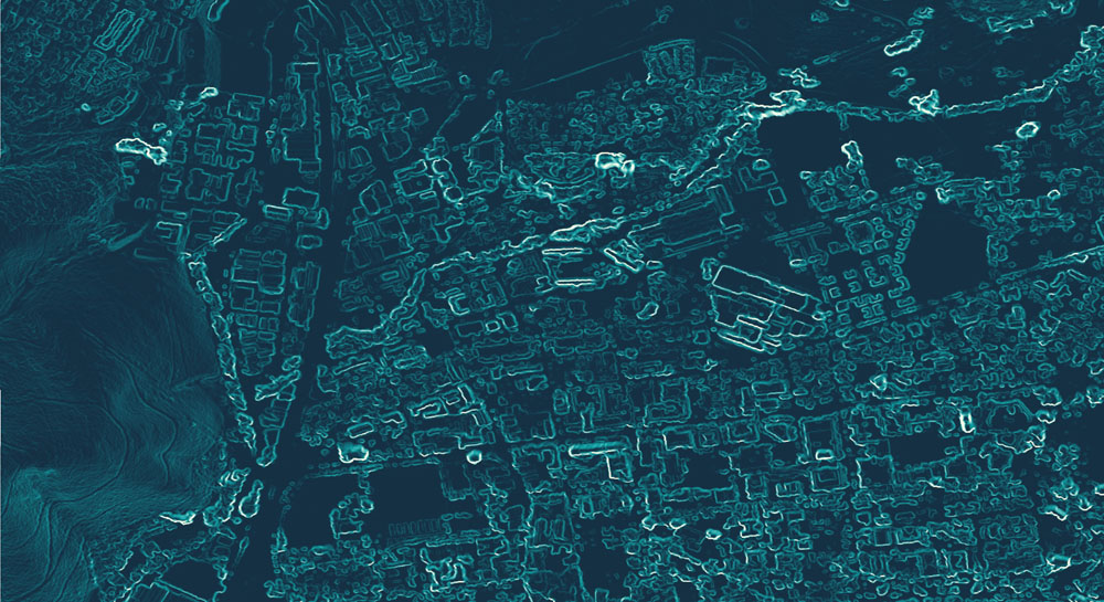
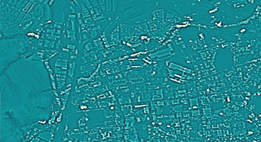
Derivatives
Get more than your bargain for – the DEMSA2 can be used to generate numerous derived datasets that can offer valuable insights to your project.


Product Levels
Purchase what you need – the DEMSA2 is offered at various product levels to allow customers to tweak their orders to their specific requirements. The levels are as follows:
- Level 1 (L1) – the DEMSA2 DSM straight off the assembly line, for when money and/or time is at a premium.
- Level 2 (L2) – the DEMSA2 DSM is carefully quality controlled to remove at least 95% of all artefacts that can occur during the generation process.
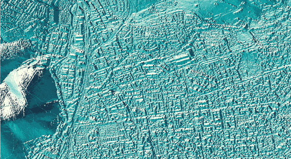
- Level 3 (L3) – the DEMSA2 DTM, where at least 95% of surface features taller than 1.5 m are removed from the L2 DSM.

Product Specification
| Resolution | 2 m |
| Vertical accuracy | ~50 cm |
| Horizontal accuracy | ~1 m |
| Price | See pricelist below |
IMPORTANT: DEMSA2 L1 and L2 are offered as a digital surface model (DSM), not a digital terrain model (DTM). In other words, DEMSA2 consists of the bare earth elevation and the heights of objects (e.g. trees, buildings) on the earth’s surface. If you are interested in a DTM, please see the DEMSA2 L3.
Pricing
DEMSA2 orders should kindly include a georeferenced polygon dataset (shapefile, kml, geopackage or any other format) delineating the area of interest (AOI)*. This AOI (or AOIs) will be used to calculate the price according to the below table. Please note that the table below shows a price estimate, and discounts can be offered on a case-by-case basis. Areas will be rounded to the nearest square kilometre for pricing. Note that 15% VAT will be added to the cost for South Africa-based clients.
| Product | Small area (< 400 km²) | Medium area (400 - 9 999 km²) | Large (> 10 000 km²) | Turnover time* |
|---|---|---|---|---|
| DEMSA2 DSM (L1) | R2 900 per AOI + R50 per km² | R34 per km² | R28 per km² | TBD |
| DEMSA2 DSM (Quality Controlled L2) | R5 500 per AOI + R85 per km² | R63 per km² | R57 per km² | TBD |
| DEMSA2 DTM (L3) | R6 600 per AOI + R160 per km² | R126 per km² | R86 per km² | TBD |
*Turnover time will be lower for less complex terrain types. Please enquire for a more accurate timeframe
*Areas of interest must be rectangular, with a minimum width of 1 km.
The requested DEMSA2 product is delivered as either a GeoTIFF raster as standard, but can be provided as a 50 cm vertical interval contour dataset in various geospatial polygon or CAD formats on request. An additional R500 processing fee will be charged when contours are extracted, or when a different format than GeoTIFF is requested.
Additionally, the following ancillary datasets are offered as add-ons to an order:
| Dataset | Price (Purchased with DEMSA) |
|---|---|
| Orthorectified, high resolution (50 cm or above) RGB aerial imagery* | R6 per km² |
| DEM derivatives (slope, aspect, solar radiation, topographical wetness index, soil moisture, and many more) | R5 per km² per derivative (Base Rate R400 for AOI < 400km²) |
| Contours (We provide contour lines at any specified interval, ensuring an overall vertical accuracy of 50 cm across South Africa. ) | R550 per AOI, once off fee. |
Estimate Cost and Request a Quote
Complete the form and we’ll be in touch as soon as possible.
Step 1: Select Product
Step 2: Specify Area of Interest (AOI)
Step 3: Inspect Price Estimation
Product Cart
| AOI Name | Product | AOI Area | Price per km² | Processing Fee | Total Price (Excl. VAT) | Total Price (Incl. VAT) | Actions |
|---|
Summary
| Subtotal (Excl. VAT): | R 0.00 |
| VAT (15%): | R 0.00 |
| Grand Total (Incl. VAT): | R 0.00 |
For large orders (>5 000 km2), please contact us directly as such orders are often heavily discounted.